For the curious
Discover the communities, waterways and infrastructure around the places you know.
 MichiganRealty.orgINTRODUCING MITTENSCOPE
A MICHIGANREALTY.ORG PROJECT
A deeper connection to the place we call home.
Communities, waterways, infrastructure and movement—brought together on one Michigan map.
In development. The full application is not yet public.
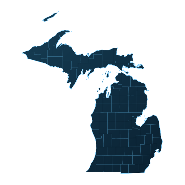
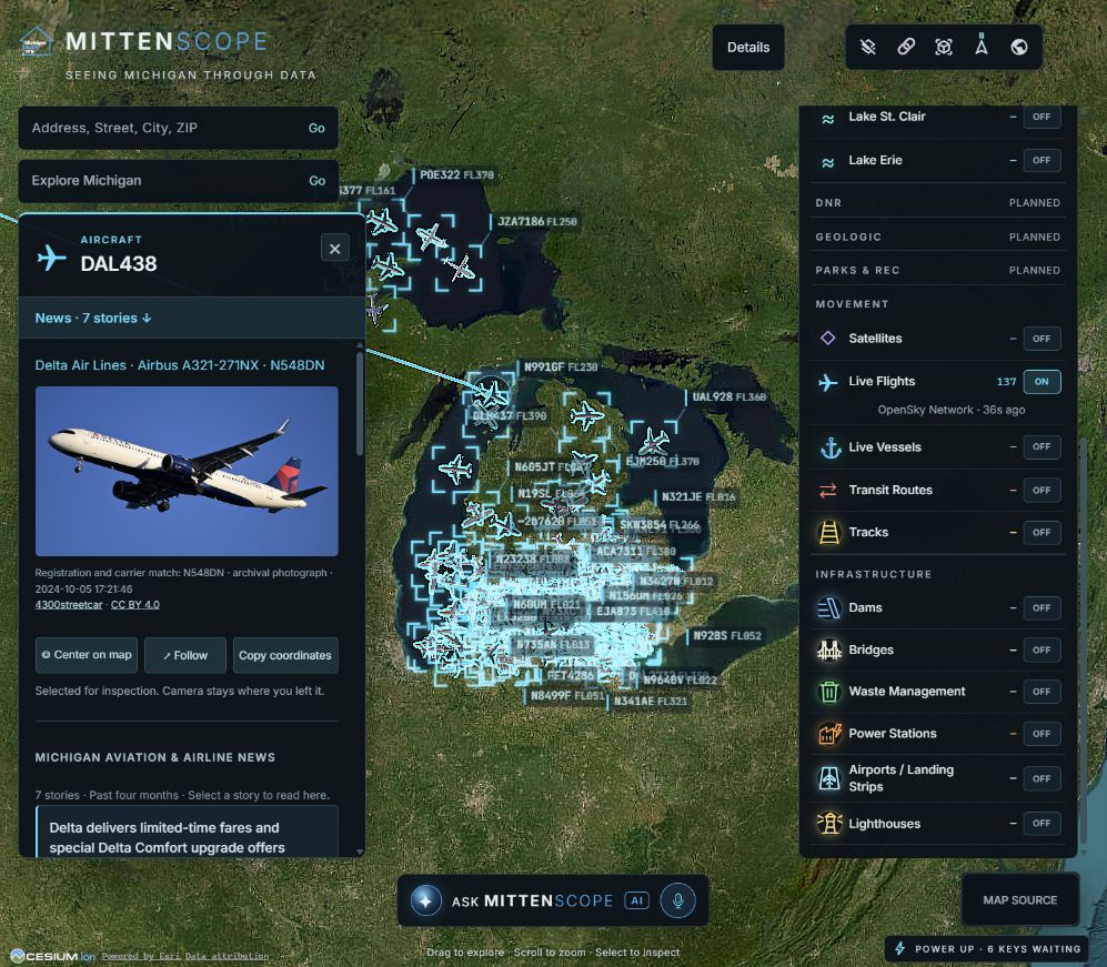 Michigan in motion · Captured activity
ON THE MAPProject dataset snapshot
TAKING SHAPE
IN THE DEVELOPMENT APP
01 / A DIFFERENT PERSPECTIVE
Start with a place you know.
Discover the context around it.
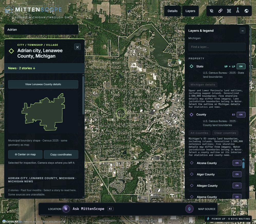
Actual development screenshots.
These images are not a live map.
02 / BUILT AROUND COMMUNITY
Useful information about Michigan should be easier to find, understand and connect.
Today, that information lives across agency websites, maps and separate databases. We're building MittenScope to bring the pieces together—so more people can explore the places that matter to them.
FREE AT ITS CORE
Our goal is to keep 99% of MittenScope freely accessible—helping people make better-informed decisions and supporting Michigan’s growth. Paid access will be limited to optional AI features, which will also unlock the Google-powered photorealistic 3D experience.
Discover the communities, waterways and infrastructure around the places you know.
Make local information more approachable, with geography and source context in view.
Help public datasets reach new audiences while giving their sources clear credit.
03 / A CLEAR VIEW OF OUR PROGRESS
Working features and future plans,
clearly distinguished.
WORKING IN THE LOCAL APP
NEXT / DATA PARTNERSHIPS NEEDED
Parcel boundaries are the next major foundation. We're exploring authoritative sources and reliable ways to keep them current.
These capabilities are planned.
Coverage varies by source. Municipal areas include Census-designated places, not every locally named community. News availability and live-feed freshness vary. Boundary reference: U.S. Census Bureau, 2025.
04 / LET'S BUILD THE BIG PICTURE
County GIS teams, public agencies, associations and local organizations: we'd love to learn what you maintain and how we can help people discover it.
We're particularly interested in parcel polygons, consistent identifiers, source documentation and dependable update access.
Become a data partnerAn invitation to collaborate.
A FEW THINGS TO KNOW
The full application is being developed locally and is not publicly available yet. The images on this website show the development app. You can request a demonstration or discuss a data partnership.
Not yet. We're starting with a clear introduction and actual product screenshots. A smaller hands-on experience may follow as development progresses.
Sources vary by layer, including Census boundaries, public agencies and available transportation feeds. We retain source context in the application. Coverage, dates and availability differ between datasets.
Those layers are planned, not available today. We are researching parcel sources and discussing potential data access. No statewide parcel or listing coverage is being promised.
Tell us about your geographic datasets, coverage, update methods and reuse requirements. A conversation with the people maintaining the data is a valuable starting point.
THE NEXT CONNECTION STARTS HERE
See the project in development, share a dataset,
or help shape a more connected view of Michigan.
Start a conversation right here.